Domain 03 — Land
On the roadmapPlanned to run on the same models and command picture as the rest of Vamocles.
The ground we stand on, watched and defended.
Forests, mines, borders and the towns between them. Vamocles fuses drone, satellite and ground sensor feeds into one picture of the land.
Where the ground needs watching.
Land is where people live, where resources lie and where disasters hit hardest.
- 01 Protected forests New roads, clearings and fire scars, caught pass by pass.
- 02 Mines and tailings Licensed boundaries, pit walls and tailings ponds, watched for change.
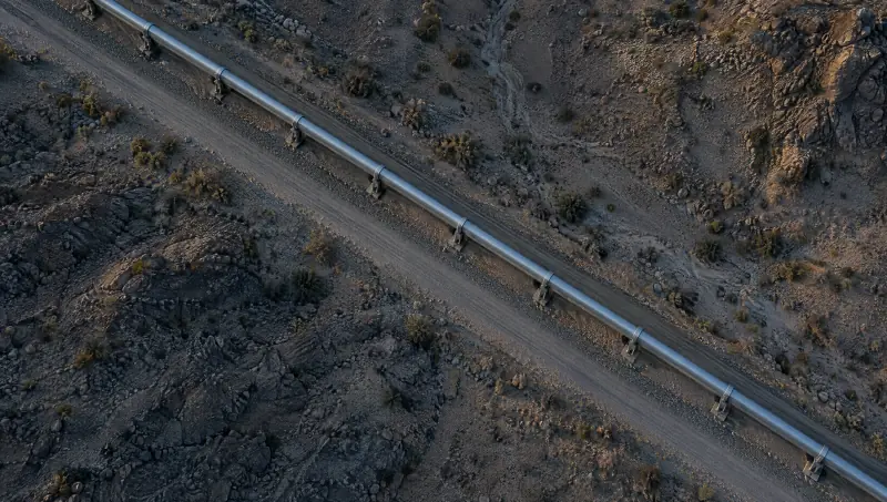
- 03 Borders and perimeters Fence lines, park boundaries and national borders, watched as one line.
- 04 Wildfire watch Heat, wind and terrain, and the roads that stay open.
- 05 Disaster response Floods, earthquakes, storms and missing persons, searched as one grid.
01 Protected forests
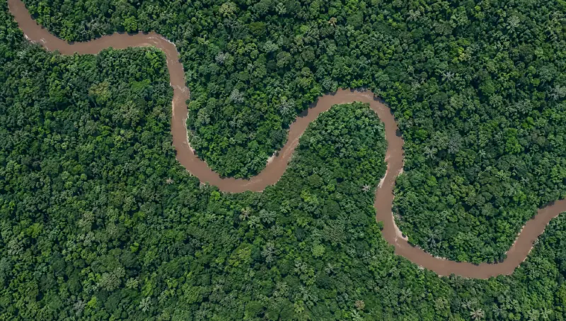
A new road is the first sign.
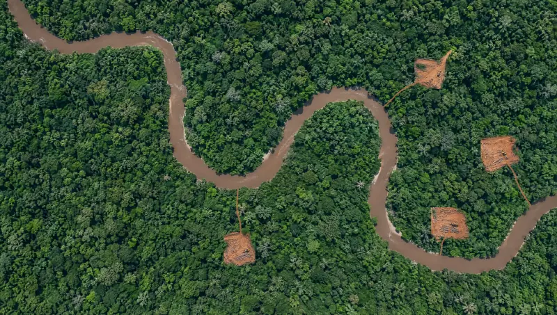
Illegal logging rarely starts with a clearing. It starts with a track from the river.
Change, not pictures
No one can look at every square kilometre every week. Vamocles surfaces only what changed since the last pass, and where.
The track before the clearing
New logging roads are flagged as they appear, so rangers can reach a site while it is still a track, not a scar.
From alert to ranger
Each alert carries the coordinates and the before-and-after imagery, and a drone can be sent for a closer look.
02 Mines and tailings
Watch what should not change.
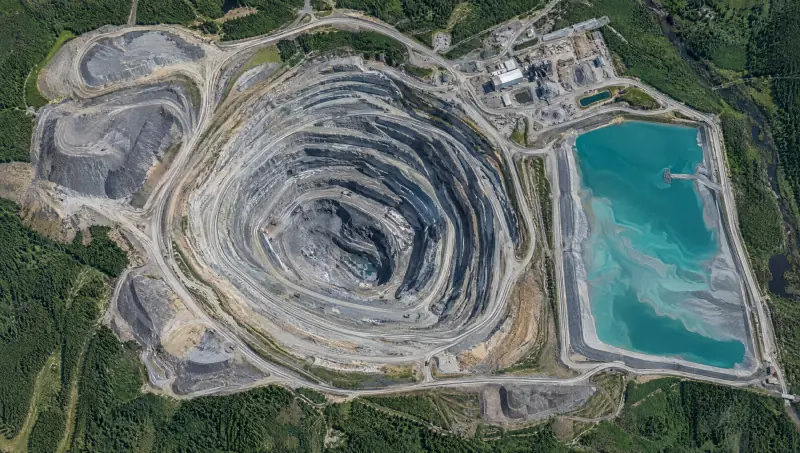
A mine changes the ground by design.
- Pit walls and benches compared pass by pass, so a change in the wall stands out.
- Tailings ponds watched for change at the shoreline, the embankments and the colour of the water.
- Workings, stockpiles and roads outside the licensed boundary flagged.
- Alerts go to the people responsible, with the imagery attached.
05 Disaster response
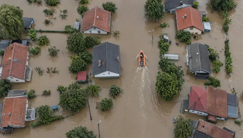
When the water rises, one picture for every rescuer.
Floods, earthquakes, storms and missing persons. Drones sweep a search grid, heat signatures surface as detections, and the coordinator sends the nearest team.
Search and rescue
Flood zone 3
PhaseStandby
- Drone
- Boat
- Heat signature
- Not yet searched
Grid 4 x 3, thermal and video
Timeline
Floods
Rooftops and roads searched sector by sector, and the nearest free boat sent to every find.
Earthquakes
Damage mapped from the air and from orbit, so search teams know which streets to start with.
Storms
Blocked roads, fallen lines and cut-off villages marked as the storm passes, and cleared as crews reach them.
Missing persons
A search area split into sectors, swept by drones with thermal at night, and every find passed to the nearest team.
Put the ground under watch.
Tell us what you need to protect: a forest reserve, a mine, a boundary or a region that floods. We will show you how Vamocles would watch it, and who it would call.