01
Protected forests
Clearings and logging roads inside a reserve, found on the pass where they first appear rather than a season later. Rangers get the location and the before-and-after images.
Domain 04 Orbit
Vamocles reads earth-observation imagery pass after pass, compares every image with the one before and tells the people who can act the moment the ground has changed.
In developmentModels for this domain are in development. Across Vamocles, two pilots are underway with businesses.
01Orbit
The whole planet, pass after pass.
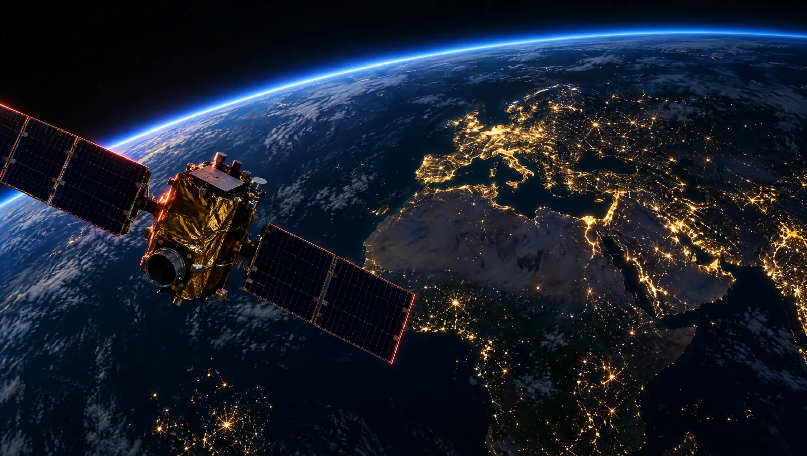
Earth-observation satellites photograph the same ground again and again. Vamocles reads every image.
02Cloud
Through the weather.
Optical and radar passes are read side by side. Radar sees through cloud, so a grey day still counts.
03Canopy
Close enough to count the clearings.
Each pass is lined up with the last, so the same trees are always compared with themselves.
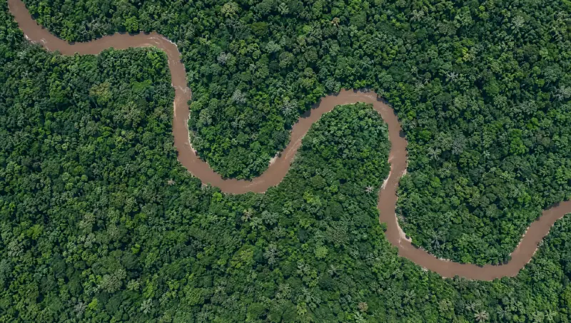
Pass 1, the baseline
Down to the tree line.
Every tree along this river is now on record. When the next pass arrives, Vamocles lines the two up and marks anything that has changed.
Read the next passEarth-observation satellites photograph the same ground again and again.
Nobody has to stare at imagery all night. The system does the watching; people make the decisions.
Pass 1Baseline
A cloud-free optical image of the reserve becomes the record that every later pass is measured against.
Pass 2Under cloud
Cloud hides the river from the optical pass. The radar pass reads the ground through it, and nothing has changed.
Pass 3Change found
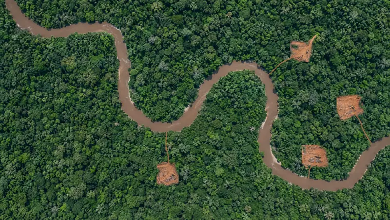
Lined up with the baseline, today’s image shows canopy gone in four places. Each one becomes a finding with its own evidence.
Change detection
01 Read
Imagery from each new pass arrives with its time and source, and is lined up with every earlier image of the same ground.
02 Compare
Vamocles compares today with the last pass and marks what is new: clearings, roads, fresh excavation, water where there was none.
03 Alert
Each change becomes an alert with a location and before-and-after imagery, sent to the people responsible for that ground.
04 Confirm
One approved action tasks a drone or a patrol to check. A satellite image starts an investigation; it never ends one on its own.
Confirm on the ground
A finding from space is where an investigation starts. One approved action sends a drone to look closely, and the answer comes back to the same picture.
01 Finding
New clearing in grid G2 of Reserve R-12. The last pass and today’s image travel with it, side by side, with the confidence of the match.
02 Tasking
The duty officer approves the task. Vamocles assigns the nearest available drone, plans the route to the coordinates and tracks it there.
03 Confirmation
Close, current imagery comes back to the same finding. The clearing is confirmed and handed to the rangers, or the finding is closed.
How Vamocles directs drones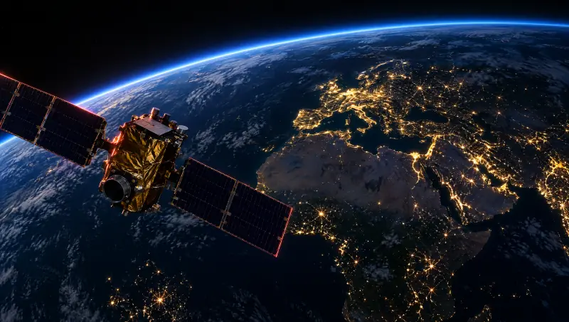
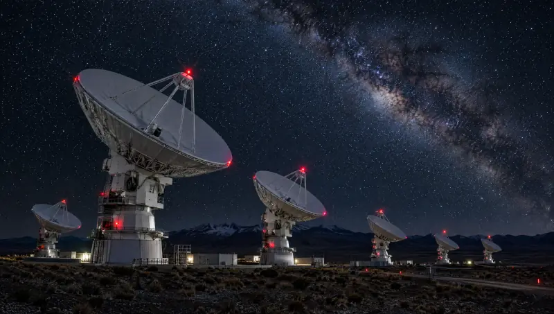
Vamocles does not build satellites. It is the intelligence and command layer that works with earth-observation satellites and the ground stations that receive their images, and it watches over both.
Ask for new imagery of a site when it matters, and follow the request until the image lands.
See when the next pass over each site is due, and plan around cloud and darkness.
Dishes, links and perimeters watched like any other critical site, on the same command picture as the pipelines and grids around them.
Every image kept with its time and source, so today can always be compared with the last pass.
The change console
Drag the divider between the last pass and today’s. Open a finding to fly to it, switch to the mine, or zoom in until you reach the tree line.
Each new image is aligned with the last before the two are compared, so the same ground is always measured against itself.
Before-and-after imagery, times and sources travel with each finding, so anyone reviewing it sees what the system saw.
Vamocles suggests the next step. Tasking a drone or sending a team is a deliberate action by someone with the authority to take it.
Where it watches
Wherever the ground changes and someone needs to know, the same loop applies: read the pass, compare it, alert the right people, confirm on the ground.
01
Clearings and logging roads inside a reserve, found on the pass where they first appear rather than a season later. Rangers get the location and the before-and-after images.
02
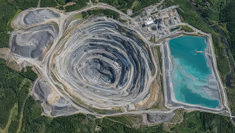
Pits, benches, haul roads and tailings ponds measured pass after pass, so growth past an agreed boundary is seen early and a pond edge that moves is flagged.
03
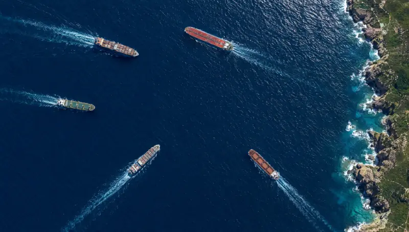
Erosion, new building and shifting shorelines compared across seasons, with activity along a remote coast shown on the same map.
Explore Land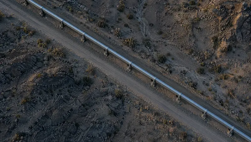
04
Pipelines, power lines and roads checked end to end for new digging, building or ground movement close to the line.
Explore Infrastructure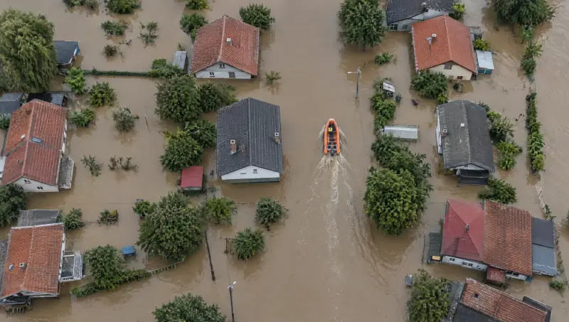
05
After floods, fires and storms: what is under water, which roads are cut and where rescue teams should go first, updated with every pass.
Search and rescue in LandA change seen from space is the start of a response, not the end of one. Vamocles hands it to the next domain on the same command picture.
You are here01 Orbit
A new clearing appears on today’s pass, with the evidence attached.
02 Air
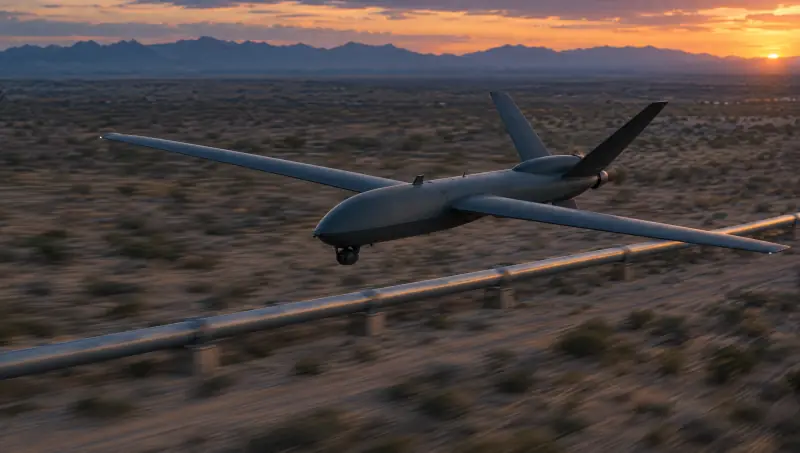
A drone is tasked to the coordinates and sends back close, current imagery.
Explore Air03 Land
Rangers, site teams or rescue crews go in with the same picture and the same evidence.
Explore LandPrinciples
Seeing the whole planet is a responsibility. Orbit is built to protect land, water and the assets on them, and to keep people in charge of every decision it informs.
Orbit watches land, water and structures. Change detection is not used to follow individuals.
An alert means something changed. People look at the evidence and decide what it means.
Every finding keeps its before-and-after images, times and sources, so decisions can be checked later.
A drone, a patrol or a call to the site confirms what the image shows before anyone acts on it.
No. Vamocles is the intelligence and command layer. It works with imagery from earth-observation satellites and with the ground stations that receive it, and it treats both as assets to protect.
Change you can see from above over time: new clearings and roads, excavation, the edge of a pond or a flood, new structures, damage after a storm or fire. What any one image can show depends on its resolution and on the weather over the site.
Every time a new image of it arrives. How often that happens depends on the satellites covering the site, so revisits are planned site by site during a briefing.
Optical imagery needs a clear view. Radar imagery does not, so Vamocles reads radar passes alongside optical ones and keeps the record going through cloud and darkness.
Yes. A finding from orbit can task a drone in Air, send a team on Land or raise an Infrastructure alert, all on the same command picture.
Yes. Request a briefing and we will walk through how Orbit would watch the sites you are responsible for, and who on your side would act on what it finds.