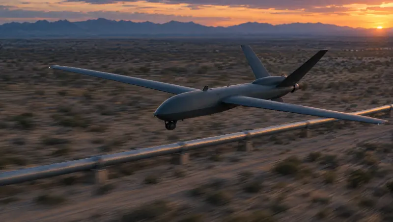
Pipelines
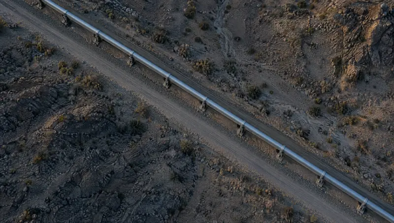
Patrol the line from end to end. Pressure data, thermal imagery and kilometre posts sit on one map, so a drop in the numbers is checked with eyes on the line.
Domain 01 Air
In developmentModels for this domain are in development. Across Vamocles, two pilots are underway with businesses.
Vamocles plans drone patrols, reads every frame they send back and puts what matters in front of the people who decide.
The air domain
Pipelines, borders and coastlines run for hundreds of kilometres through places where no one lives. Vamocles gives every kilometre a pair of eyes, and every pair of eyes a person to answer to.
Drones already fly. What they lack is a system that decides where they go, reads what they see and makes sure someone acts on it.
01 Plan
Routes follow the line itself, kilometre post by kilometre post. Patrols are scheduled around airspace rules and the weather, and sent first to the stretches that changed since the last pass.
02 Watch
Every frame from every drone is read as it arrives, visible and thermal alike, and compared with what the same stretch looked like on the last pass.
03 Detect
A heat bloom at a support, a vehicle where no road runs, a fence line that has moved. Vamocles flags what does not belong, pins it to the map and shows why it was raised.
04 Task
Send the nearest drone for a closer look, hold it on station or bring in a second angle, from the control room, a laptop or a phone. A person authorises every tasking.
05 Hand over
When something needs hands, the field team gets the location, the imagery and the route, and everyone works from the same picture until the job is closed.
Command from anywhere
An alert lands on the duty officer’s phone. One tap sends the nearest drone. The console follows every step, and the field team has the picture the moment it matters.
The console, a laptop and a phone all command the same patrol. Whoever holds the authority can act from wherever they are.
Vamocles proposes the drone and the route. Nothing is sent until someone with the right to decide says so.
Alert, dispatch, arrival, detection and handover are written to a time-stamped log the whole team can see.
Where the patrols fly
The same system watches a pipeline in the desert, a coastline at night and a city on its busiest day. Only the route changes.
Patrol the line from end to end. Pressure data, thermal imagery and kilometre posts sit on one map, so a drop in the numbers is checked with eyes on the line.
Long, quiet perimeters watched without gaps. Vessels and vehicles near the line are tracked and handed to the teams who patrol it.
Plants, ports and ground stations, with perimeter patrols that fly on a schedule and launch on an alarm.
Routes, gates and gathering points watched from above, so organisers see congestion build before it becomes a crush, and know where the open space is.
Tree lines swept for heat and smoke on dry days, with the first sighting sent straight to the crews who can reach it.
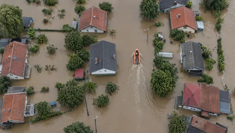
After floods, fires and storms, drones sweep a search grid and every rescue team works from the same picture.
What a patrol sees flows into the same command picture as every other domain. When the line reaches the coast, the forest or the grid, the watch carries on.
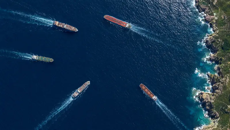
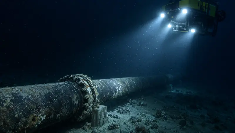 02 Sea
From the shipping lane to the seabed.
When a patrol reaches the coast, the maritime picture takes over: vessels, routes and the pipelines below the waterline.
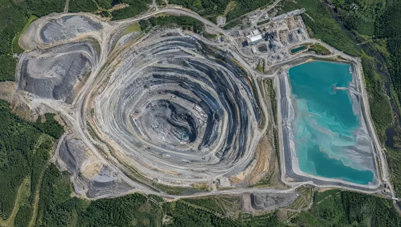 03 Land
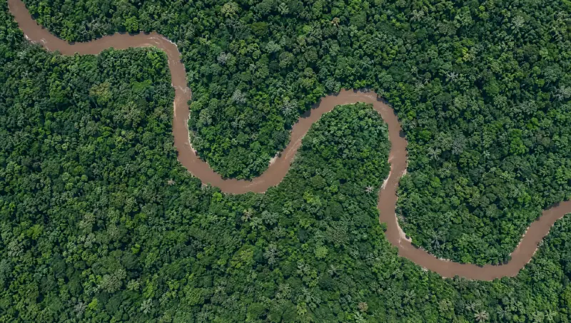
The ground beneath the patrol.
Forests, mines, borders and towns, with drones sweeping search grids when floods and fires strike.
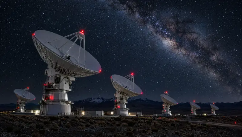 05 Infrastructure
The line, the grid and the links, as one network.
The pipeline under the patrol, the power that runs it and the ground stations that carry its data, watched as one system.
Tell us what you need watched from the air. We will show you how Vamocles would plan the patrols, read the feeds and put the decisions in the right hands.
Or write to hello@vamocles.com